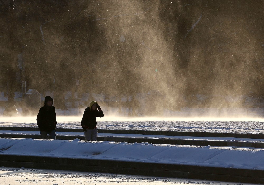
Bundle up this weekend — or better yet, stay indoors altogether. Extreme winter weather spread across the nation this week, and it’s not going away anytime soon. Another cold and stormy winter weather pattern is on its way, bringing more Arctic temperatures, ice, sleet, and snow for large parts of the country.
This week, much of the nation experienced Arctic-cold temperatures that are expected to last into early next week for at least the eastern half of the country. Parts of the Upper Midwest and northern Plains may begin to thaw by mid to late next week, but areas from New England to the Gulf Coast are still likely to see below-average temperatures through the week.
And here’s an out-of-this-world occurrence: Temperatures in parts of the country on Thursday were colder than temperatures on Mars. According to weather data from NASA’s Mars Curiosity Rover, the red planet reached a high of 17.6 degrees Fahrenheit earlier this week — making parts of Mars around 10 degrees warmer than some American cities, including as Chicago, Detroit, and Green Bay, Wisconsin, according to The Guardian.
Last Wednesday was also the coldest day of winter so far for an estimated 200 million people across America, according to NBC’s Gabe Gutierrez. Windchills in some cities dropped as low as fifty below zero.
Though there will be a brief thaw, don’t get too excited — signs point to more arctic air returning in late January to most of the country once again.
A new weather pattern is expected to bring freezing rain and sleet to large swaths of the country this weekend and into early next week, including parts of the South, the Ohio Valley, the Mid-Atlantic and the Northeast. The Weather Channel explained that the new winter storm is caused by a cold air mass colliding with moisture to cause precipitation, which could be in the form of snow, sleet, or freezing rain.


